House restumping in Bairnsdale and the East Gippsland pages
For house restumping in Bairnsdale, the East Gippsland Shire pages we found tell you who issues permits and say nothing about restumping. The Council's building permits page says "We do not issue Building Permits, these are issued through Private Building Surveyors", and that the owner is responsible for obtaining the permit. Its private surveyors page repeats the point. Neither page mentions restumping, reblocking or underpinning, so there is no restumping line to quote. We checked 6 November 2026 and found nothing newer.
That silence does not tell you what the rule is. Ask a registered building surveyor whether your house needs a permit, and remember that the owner or the owner's agent appoints the surveyor. Our building permit guide compares all four councils. We are a referral service: your enquiry goes to a builder who works in the town, and you should ask which registration they hold and check it on the Building and Plumbing Commission register.
This one page covers three towns because each alone is thin. Together they hold about 9,200 dwellings, and each has a different kind of ground: a river floodplain at Bairnsdale, lake shores at Paynesville and a barrier coast at Lakes Entrance.
Bairnsdale, Paynesville and Lakes Entrance at the 2021 Census
These are ABS 2021 Census QuickStats figures for each suburb and locality, with small random adjustments applied. "Unoccupied" means unoccupied on census night, and this includes holiday houses, but the ABS page does not say how many. The Lakes Entrance page notes that occupied plus unoccupied dwellings do not add up to the total because of that adjustment.
| Place | People (median age) | Private dwellings | Separate houses | Owned outright | Rented | Unoccupied on census night |
|---|---|---|---|---|---|---|
| Bairnsdale | 7,905 (44) | 3,875 | 84.3 per cent | 36.8 per cent | 33.4 per cent | 380 (10.3 per cent) |
| Paynesville | 3,636 (62) | 2,237 | 85.9 per cent | 56.9 per cent | 21.2 per cent | 501 (23.1 per cent) |
| Lakes Entrance | 5,145 (55) | 3,099 | 81.4 per cent | 48.7 per cent | 27.5 per cent | 705 (24.6 per cent) |
Bairnsdale had a median weekly household income of $1,101 at the 2021 Census, Paynesville a median weekly household income of $987 and Lakes Entrance a median weekly household income of $866. The shire as a whole had 48,715 people and 25,948 dwellings. Roughly one Paynesville or Lakes Entrance dwelling in four was unoccupied on census night, against one in ten at Bairnsdale.
Bairnsdale and the Mitchell River floodplain
Bairnsdale's flood history is on record, and it is the clearest local fact for a house owner here. The Victoria SES Bairnsdale flood guide (April 2024) lists floods in 1990, 1998, 2007, 2016 and October 2023, when the Mitchell River reached 6.48 m. The June 1998 flood peaked at 7.75 m and caused over $78 million in damage. The guide gives gauge levels of 5.6 m for minor flooding, 6.5 m for moderate and 6.8 m for major, and says the floodplain between Lindenow and Bairnsdale and the Macleod Morass can be covered, with some areas up to 1.2 m deep.
For your own address, the guide points to Digital Twin Victoria for checking a property, and to the East Gippsland Catchment Management Authority for flood levels. A 2009 council housing report (old and used here for context only) says the Bairnsdale centre is "contained by the floodplain of the Mitchell River on three boundaries" and that there is "a high proportion of encumbered (especially flood-prone) land". That is a description of the town's setting, not a map of your street, and we do not say any named street is or is not under an overlay.
The soil survey for the Lindenow unit describes recent alluvium along the Mitchell and Tambo rivers, on level plains of under 1 per cent slope, with clay of about 14 to 26 per cent and "bed and bank erosion" common along the stream channels (Lindenow soil entry). It is relevant to the Bairnsdale flats, not to the Paynesville or Lakes Entrance shores, and it describes soil rather than a building site class. A soil test classifies the site; see the soils guide.
Paynesville and Lakes Entrance: lake shores and holiday houses
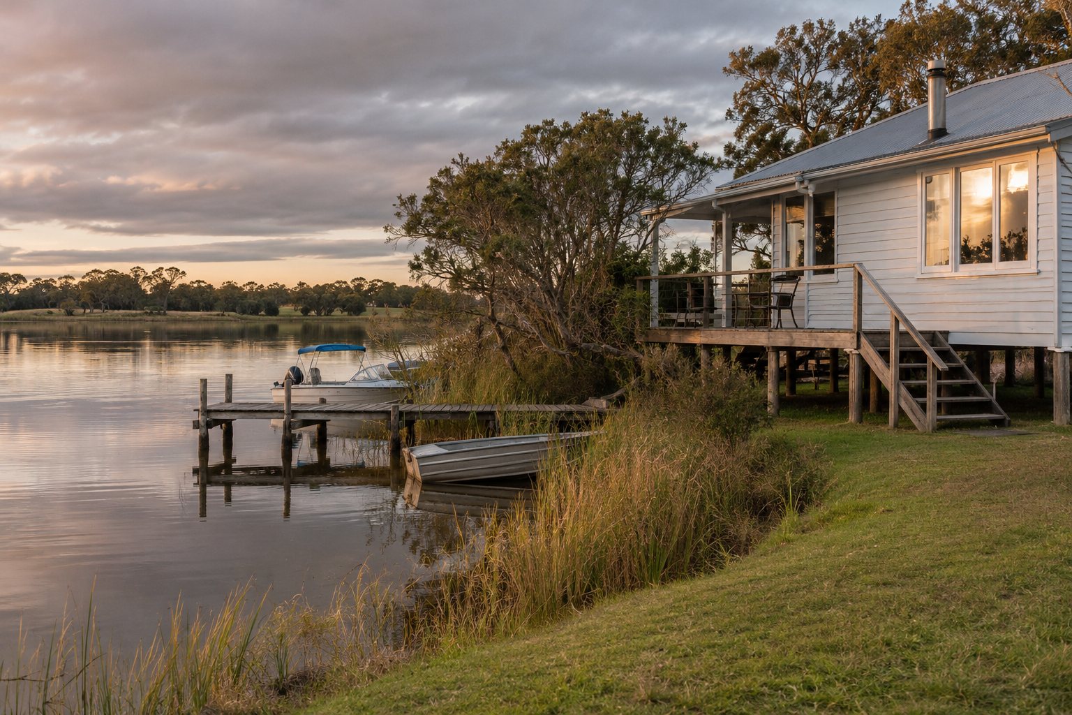
Paynesville and Lakes Entrance sit on the Gippsland Lakes, where the hazard report below looks at water levels and shoreline erosion. The April 2014 coastal hazard assessment from the Department (Gippsland Lakes hazard report) says peak flood levels on most lakes rise about 0.65 times the sea level rise, and about 0.9 times at Lakes Entrance because of its direct ocean connection. It names Lake King between Paynesville and the Nicolson River, and the Reeve Channel and Lakes Entrance areas, among the most affected shorelines. It calls inundation the key hazard for Paynesville, with lake shore erosion a concern.
For Lakes Entrance it says the area is "already flood-prone", that barrier recession is expected to accelerate, and that a tipping point sits between 0.4 and 0.8 m of sea level rise. The report adds that existing shoreline protection at both towns depends on those structures being maintained, and that its modelling is not a full flood study. The SES also lists local flood guides for Paynesville and Lakes Entrance, and says the Gippsland Lakes rose 1.3 m above normal in June 2007 (East Gippsland page).
Paynesville's post office opened on 8 November 1879 as Toonalook and was renamed in 1886, according to an encyclopedia entry (secondary source). It lies on Lake Victoria near Lake King, 17 km from Bairnsdale, with Raymond Island reached by ferry. Lakes Entrance began as Cunninghame on 5 February 1870 and took its present name on 1 January 1915 (encyclopedia entry for Lakes Entrance), and the entry calls it predominantly a fishing and tourism-driven town.
When a house sits empty between visits, the checks are the same as in any town, only harder to do. Ask a builder to photograph the subfloor, decide who holds the key, and remember that a builder cannot appoint the surveyor for domestic building work under a domestic building contract. The Cowes page works through the whole sequence for holiday house owners.
Weather and bushfire planning
Two Bureau of Meteorology stations cover this area. Bairnsdale Airport has a mean of 645.1 mm a year (rainfall record 1942 to 2026), with November the wettest month at 80.6 mm and August the driest at 36.9 mm (Bairnsdale Airport table). The Lakes Entrance Eastern Beach Road station has a mean of 736.7 mm (rainfall record 2006 to 2026), with June the wettest at 84.3 mm and May the driest at 41.1 mm (Eastern Beach Road table). No source we found ties either figure to the timing of house restumping.
East Gippsland's planning guide for the Bushfire Management Overlay says buildings and works in the overlay need discussion with a development officer and recommends talking to the CFA (Council planning guide). It does not say whether restumping triggers a permit there, and we found no overlay extent for any of the three towns.
What to send, and what to ask
Tell us the town, whether the house is lived in, a holiday house or empty, what you have noticed and whether the subfloor can be entered. Ask the builder for an itemised written quote and the programme in writing, and ask who applies for the permit if the surveyor says one is needed. The house reblocking page explains the whole-house job, and the quote form is where your details go.
Other areas we cover: Cowes and Phillip Island; Leongatha, Korumburra and Mirboo North; Sale and Maffra; Wonthaggi and Inverloch. The flood and overlay guide covers the Lakes in more general terms.
What this page cannot tell you
It cannot tell you whether a flood, erosion, bushfire or heritage overlay covers your house, because we found no overlay extent for any East Gippsland town. It cannot say whether your house needs a building permit, since the Council pages are silent on restumping, or what the ground under it does. The flood levels are the river's past record and a 2014 hazard report, not a forecast. Ask a registered building surveyor, the Council and the catchment authority, and check the builder's registration class on the register.
Check the current rules before you rely on this
This page describes house restumping in Bairnsdale, Paynesville and Lakes Entrance, with the permit, flood, lake and census facts we could verify. It describes the rules in general terms as they stood in November 2026, checked 6 November 2026. Standards, forms, thresholds and fees change.
The authoritative sources are East Gippsland Shire Council, building permits (page is silent on restumping), Victoria SES, Bairnsdale local flood guide (April 2024), Department of Environment, Land, Water and Planning, Gippsland Lakes and 90 Mile Beach coastal hazard assessment summary (April 2014; not a full flood study), East Gippsland Shire Council, planning for applications in the Bushfire Management Overlay (guide) and ABS 2021 Census QuickStats: Lakes Entrance (suburb and locality). Where anything here differs from those sources, they are right and we are not.
We are not builders, building surveyors, regulators or lawyers. For what applies to your job, ask the builder which registration they hold and check it on the Building and Plumbing Commission register, then ask a registered building surveyor and your council what is needed. Contract, deposit and payment rules change by 1 December 2026.
Accurate at the time of writing, November 2026. Always check the source before relying on it.